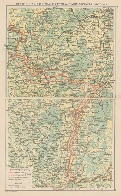
Europe Showing Air-Distances (1940)
London Geographical Institute1940 · Landscape
Add to a brief →
Rights checked · print-ready master at your size · adapted to your space on request
Specifications
- Year
- 1940
- Nationality / school
- English
About the artwork
This page presents "Europe Showing Air-Distances" (1940), created by London Geographical Institute. Illustration in brief: Illustration serves a text or a story, a tradition that runs from decorated medieval manuscripts to printed book plates, magazines, and posters. Printing methods such as woodcut, engraving, lithography, and photomechanical reproduction each shaped how illustrators worked. Historical background, 1940: The first decades of the twentieth century were a period of rapid experiment, with Fauvism, Expressionism, Cubism, Futurism, and the first abstract painting appearing within a few years of each other. Dada and Surrealism followed the First World War, the Bauhaus school was founded in 1919, and Art Deco became the fashionable decorative style of the 1920s and 1930s. The catalogue places it in Illustration. The format is landscape.
"Europe Showing Air-Distances" is shown in the onlly.art catalogue for reference and browsing. A landscape format suits wide, low wall spaces such as the stretch above a bed, mantel, or sideboard. Browsing works by the same artist, or from the same period, is a good way to compare styles before choosing what suits your space.
About the artist
English
If you like the visual language of London Geographical Institute, explore more works by the same artist in our collection.