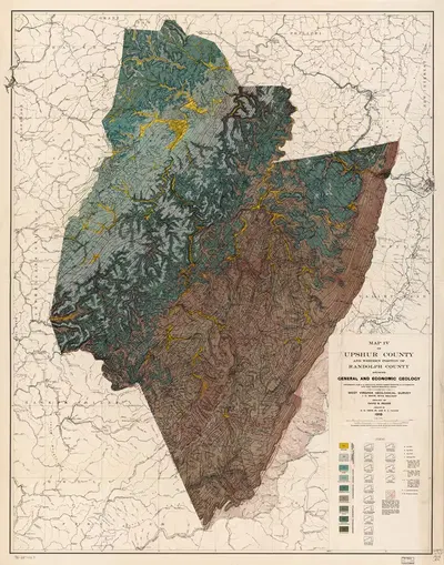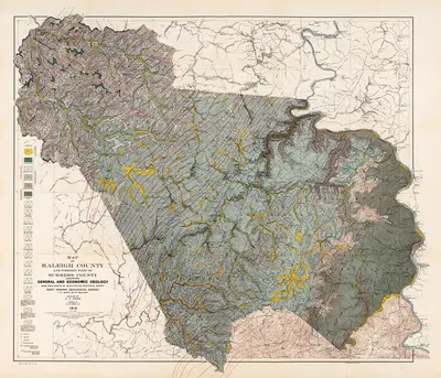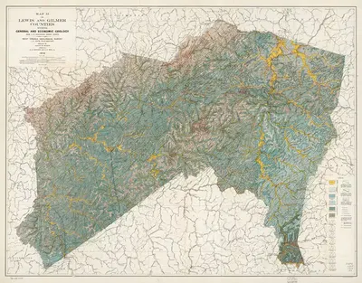
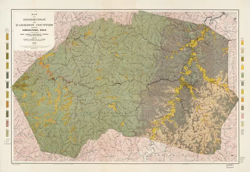
Map of Doddridge and Harrison counties showing agricultural soils (1912)
Israel Charles White1912 · Landscape
Add to a brief →
Rights checked · print-ready master at your size · adapted to your space on request
Specifications
- Year
- 1912
About the artwork
Israel Charles White is the artist behind "Map of Doddridge and Harrison counties showing agricultural soils", dated 1912. The catalogue places it in Illustration. The format is landscape.
"Map of Doddridge and Harrison counties showing agricultural soils" is available for commercial licensing as a print-ready master. A landscape format suits wide, low wall spaces such as the stretch above a bed, mantel, or sideboard. Illustrative graphics are valued for their decorative line work and narrative quality, which makes them a strong fit for gallery walls, kids rooms, studies, and more intimate interiors. Add it to a brief and we send a shortlist for your space, with the source, rights status and a project licence you can show your client.
About the artist
Israel Charles White is featured in our catalog. 4 works by the artist are available on onlly.art.
If you like the visual language of Israel Charles White, explore more works by the same artist in our collection.