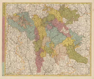
Map of the China Seas Showing Philippine Islands and Adjacent Countries with European Colonial Possessions Under Their National Flags (1898)
W. B. DuncanUS$2.99
数字文件
再加 1 个文件 -> 下一张 -5%。
数字海报
- 购买内容
- 数字海报文件:JPEG + PDF,300 DPI
- 价格
- 每个文件 $2.99,每增加一个文件更便宜
- 交付
- 付款后通过邮箱发送下载链接
Map of the China Seas Showing Philippine Islands and Adjacent Countries with European Colonial Possessions Under Their National Flags
US$2.99
关于作品
《Map of the China Seas Showing Philippine Islands and Adjacent Countries with European Colonial Possessions Under Their National Flags》(1898)是 W. B. Duncan 的作品,收录于“插画”。onlly.art 提供 JPEG 和 PDF 数字复制品,可供自行打印;付款后通过邮箱交付。
关于艺术家
W. B. Duncan收录于我们的目录。onlly.art 已收录该艺术家的 1 件作品。
如果你喜欢W. B. Duncan的视觉语言,可以继续浏览同一艺术家的更多作品。
规格
- 艺术家
- W. B. Duncan
- 类别
- 插画
- 年份
- 1898
- 方向
- 竖版
- 材质
- 数字 JPEG + PDF 文件
- 可选尺寸
- 数字文件