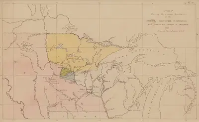
Map Showing the Present Boundaries of the Ojibwa, Menomonee, Winnebago, and Dakotah Tribes of Indians 1851Seth Eastman1851US$2.99数字文件加入购物车加入收藏
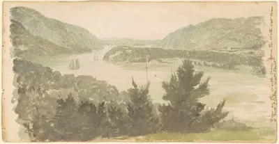
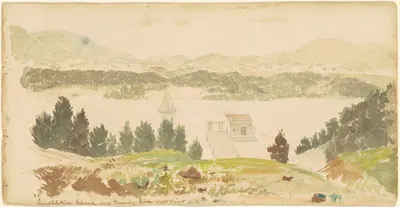
View of the North River from the North West Corner of Fort Clinton—West PointSeth Eastman1837US$2.99数字文件加入购物车加入收藏
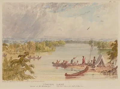
Itasca Lake, Source of the Mississippi, 1575 Feet above the Gulf of MexicoSeth EastmanUS$2.99数字文件加入购物车加入收藏
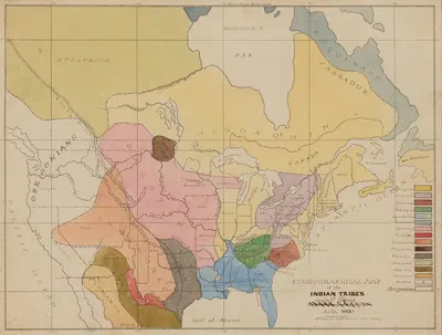
Ethnographic Map of the Indian Tribes of the United States, A.D. 1600Seth EastmanUS$2.99数字文件加入购物车加入收藏
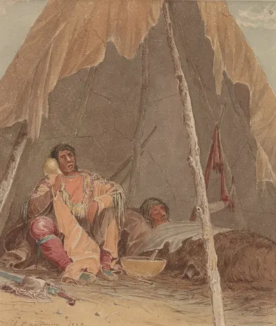
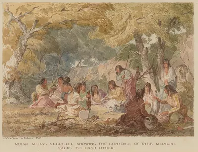
Indian Medas Secretly Showing the Contents of their Medicine Sacks to Each OtherSeth EastmanUS$2.99数字文件加入购物车加入收藏